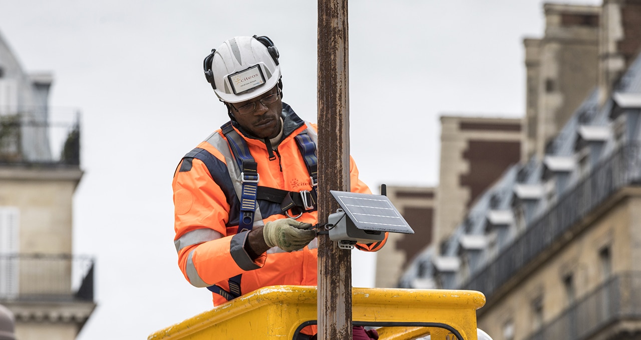
Together with Citeos, the City of Paris rolled out a network of micro sensors “at human height” in 2018. The goal is to fine-tune the city’s Airparif air quality measurement model and support targeted measures.
Paris plans to focus on “surgical” targeting in its battle to control pollution. For example, it will determine the variation in nitrogen dioxide concentration across the city’s topography and boost the precision of local urban pollution measurement systems. To do this, it will develop a network of micro sensors to substantially improve its overview of reality.
Airparif, the Greater Paris air quality monitoring network, provides a macroscopic overview. It uses some 15 stations installed on roofs and streets to measure pollution then performs calculations to extrapolate data from one station to another. To supplement this system, the city issued a call for experiments and selected two specialist companies to install, virtually at human height, a dense network of micro sensors on strategically located streetlights throughout the city.
Lightweight, autonomous micro-sensors powered by photovoltaic energy could communicate with BimCity in the future
In the autumn of 2018, Citeos (VINCI Energies) rolled out the tools provided by California startup Clarity, the other company selected following the call for experiments. Its lightweight, autonomous micro-sensors, which have long-life batteries and are powered by photovoltaic energy, could communicate in the future with BimCity, a hypervision platform developed by VINCI Energies to manage the full range of smart city data. In this case it will aggregate, among other things, measurements of nitrogen dioxide and PM2.5, the fine particles recognised as particularly harmful by the World Health Organisation (WHO).
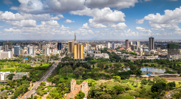
Air pollution is one of the leading causes of death in France. In the Greater Paris area, it accounts for 6,500 premature deaths annually and reduces the average life expectancy of the entire population by two years, say the city authorities.
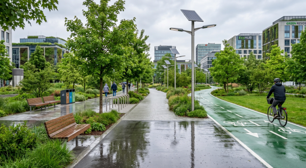
A denser network at ground level
“The purpose of the project carried out in partnership with Airparif,” says Citeos Business Unit Manager Anne-Catherine Sublon, “is to combine the current data and the data of the new, denser network located at ground level.” Analysis of these measurements should make it possible to “help Airparif improve its model,” adds Citeos Project Manager Benjamin Leiba.
The monitoring network would then be in a position to perform a comparative analysis of pollution rates above areas such as the ring road and the Bois de Boulogne park as well as their immediate environs. In general, traffic arteries and high-density neighbourhoods will be closely monitored.
This will then give the city geolocation data that it can use to combat air pollution, for example through street closures or targeted communication designed to encourage behaviour such as turning off the ignition when the car is not moving.
Learn more:
https://www.actu-environnement.com/