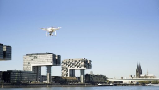
Professional drones have carved their place in the smart city, working alongside builders and building managers, with cloud technology and 3D mapping helping to consolidate their position.
The media has popularised the notion of products purchased online and delivered from above via drones. Drone deliveries, which are easier to carry out in suburban rather than dense urban areas, may remain the stuff of dreams. And yet drones already enjoy pride of place in the smart city, where they are used as mobile airborne sensors. The building and public works sector was among the first to make use of this technology.
Redbird has developed a solution that analyses images taken from above worksites, in order to generate data on work progress and site optimisation. Though not yet widely used, this solution, now supported by a drone-specific Cloud service that can process large quantities of data, has been deployed over large-scale infrastructure.
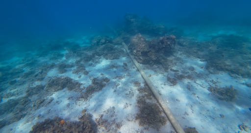
Drones are now a component in new surveillance and maintenance systems for major infrastructure including railways, roadways and highways, power lines, and pipelines. In urban settings, drone-assisted data-capture is increasingly used in building modelling projects. Drones’ built-in photogrammetry capability produces scattergrams that are useful in developing digital models.
New urban applications
Among the new urban applications made possible by drones, relief and rescue for stricken areas is of particular interest. Their use in Nepal, as pointed out by L’Atelier, was an eye-opener: a drone filmed the after-effects of the April 25, 2015 earthquake in Kathmandu, enabling rescuers to plan appropriate measures.
The development of Google Maps for drones reflects this technology’s increasing importance in the smart city.
Like Redbird, Hivemapper develops 3D maps that display no-fly zones for drones, including high-voltage power lines, buildings, and trees. Creatively, Hivemapper made use of crowdsourcing to create its solution. Like the well-known traffic and navigation app Waze, this solution allows users to customise their maps by indicating the presence of temporary obstacles.
From Building Information Modelling (BIM) to relief and rescue operations in devastated cities, these innovations reflect professional drones’ growing importance as building blocks in the smart city.
15/12/2016