How can geopositioning, geoguidance, geofencing and similar applications be used to provide customised services for building users and visitors? Easy: by tracking the way the space is used.
The smart building is unthinkable without geolocation. But what exactly is being located within the smart building, and for what purpose? To answer that question, we must first identify three distinct types of geolocation.
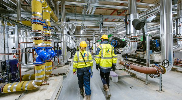
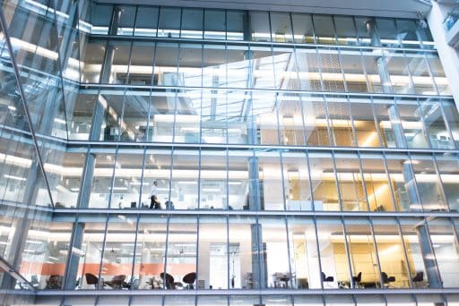
First there is geopositioning, which is used to identify the building’s users at Time T and to track their movements. “The goal is not to provide individuals with a service but to determine the building’s occupancy rate and track the movement of people within it to determine the use to which they are putting the space and identify issues that need to be addressed,” says VINCI Facilities BIM FM Project Manager Mathieu Rigaud.
Next comes geoguidance. Here, the objective is to improve convenience by guiding people where they want to go. A service technician, for example, may be carrying a heavy load, or need to work very fast on a given piece of equipment. The geoguidance application helps him find his way without making needless detours.
Lastly, the third geolocation application, geofencing, makes it possible to interact with individuals according to their position with respect to nearby services or facilities (“You are approaching the cafeteria. Here is today’s menu.”)
Space management and space planning
“Today, geolocation is primarily used to understand how people are using the space in order to improve the services provided within it, taking a short term (space management) or long term (space planning) approach,” says Mathieu Rigaud.
For example, the scheduled rounds of the maintenance manager can be adjusted to include checking to make sure a meeting room is clean, emptying wastepaper baskets before or after a meeting, or ordering comprehensive cleaning, according to the occupancy rate, frequency, duration and purpose of the room. In another example taken from the VINCI Energies Factory, when an employee enters an empty meeting room, it is automatically reserved for a period of 15 minutes.
In the longer term, geolocation will be used to optimise building performance by adjusting spaces.
But in the longer term, geolocation will also be used to optimise building performance by adjusting the spaces themselves. “At the Factory, which we use as a day-to-day laboratory, we found that the areas provided for people to move between open workspaces are infrequently used and that people prefer to walk around the outside. So why not update the initial drawings and adjust the space to ensure that it is used more efficiently?” says Mathieu Rigaud.
The VINCI Facilities BIM FM Project Manager also points to the example of the Thalès site in Vélizy, where accessibility and traffic areas were defined with a view to optimising geoguidance.
Trust in digital systems
But users may have legitimate misgivings about such identification, tracking and interaction studies, particularly when the results are combined with behavioural and/or personal data. A virtuous framework therefore needs to be set up to organise discussion and development of smart building geolocation and the other digital functions. The smart market cannot be developed unless people trust these digital systems.
13/02/2018