Having become a genuine alternative in regulating urban spaces, the Waze application is creating tensions with local authorities. But a partnership based on the shared management of data is possible.

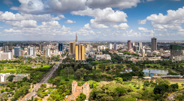
Until quite recently, the authorities alone controlled the organisation and management of public spaces, including road traffic. That is no longer the case. These days, drivers are no longer obliged to follow the routes designed by urban planners and marked out with road signs. Instead, they use applications such as Waze to save time by following routes calculated in real time by an algorithm.
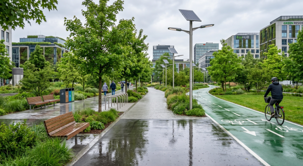
By ignoring the local authorities’ traffic plans, these routes have an impact on a region’s traffic strategy. For example, they can transform quiet residential streets into heavy traffic zones. They override the work of transport engineers whose aim was not necessarily to prioritise fast vehicle journeys, but rather to ease traffic and make it safer for everyone, for example by including pedestrian crossings, wide pavements, cycle lanes and traffic lights.
It seems the emergence of platforms such as Waze is bringing together two different and sometimes contradictory visions of the public space. On one hand, the organisation of traffic routes according to a collective living project, and on the other, an individual tool showing the motorist the fastest route regardless of which areas it goes through. As Antoine Courmont, scientific officer of the Digital City chair at Sciences Po states in his study entitled “Plateformes, big data et recomposition du gouvernement urbain – Le cas de Waze”, “These alternative ways of regulating the urban space are causing tensions with the local authorities”.
Spatial vision vs. Temporal vision
The researcher contrasts the authorities’ “spatial vision” with the “temporal vision” of the applications. The former is based on infrastructure, the latter on driver behaviour. The Waze program works using real-time data and communication with smartphones that broadcast data such as their GPS location and problems encountered: traffic jams, roadworks, accidents, etc. This data is processed in real time by an algorithm that determines the fastest route at any given moment, with no concern for which roads are used. Volunteers regularly update the Waze mapping.
Reflecting on how the emergence of a new approach to quantification – the Waze approach – is challenging public territorial action, Antoine Courmont suggests two possible responses: opposition and collaboration. Essentially, big data that has escaped from public control can contradict or negate local authorities’ traffic management decisions, but may also help to shape public regulation.
The manager of the traffic control room in Lyon is quoted in the Sciences Po study as saying: “Waze solves problems for us. By automatically redirecting drivers, it avoids sending any more traffic to pinch points.” Similar positive feedback is often heard in the United States.
However, Waze often still attracts blame for the problems it causes in built-up areas. The tensions that arise can escalate to the point where lives are put at risk, as happened in Sherman Oaks on the US West Coast. In 2017, a fire broke out in the outskirts of this Los Angeles neighbourhood, and route guidance from applications created a serious traffic jam, directing commuters through the area and straight into the fire, even as local residents were being evacuated in the opposite direction.
Joint creation of regulations
According to Antoine Courmont, applications like Waze are questioning the “Ability of public bodies to coordinate the individual actions of a large number of people”, leaving traffic management officials wondering how to regain control. In France, the mayor of Lieusant, to the south of Paris, beat the algorithm at its own game. Waze was sending traffic through the town to avoid jams on the nearby motorway, so to redirect this unwanted flow of cars elsewhere, the mayor installed an unlikely traffic light on the road out of town and used one-way streets to change the Waze algorithm.
There is a need to define ways of cooperating to jointly create traffic regulations.
In Fremont, USA, signs warn: “Don’t trust your apps”.
Antoine Courmont, scientific officer of the Digital City chair at Sciences Po, believes the transformation of road infrastructure to reduce traffic speeds is one path public bodies could take. They could also align the road network’s administrative categories with those in the Waze database.
But he also offers a more constructive vision: to combine public data with the big data from the platforms. There is a need to define ways of cooperating to jointly create traffic regulations. These will include data exchange programmes based a mutually beneficial partnership: Waze could consolidate data on disruptive events and local authorities could gain an additional instrument for enacting their policies.
In 2017 (the study’s fieldwork year) in France, a dozen local authorities entered this kind of partnership based on data, experimenting with a new division of tasks between the public and private sectors. While public entities produce and make available high-quality data, private companies handle the development of services for users.
19/11/2020